This article contains advertising.
Kamikochi is a high mountain valley in Nagano, Japan — and one of the most beautiful walks in the Japanese Alps.
I entered by bus from Hirayu, stood before the Hotaka peaks reflected in Taisho Pond, and followed the crystal-clear Azusa River to Kappa Bridge. This is a first-hand guide to an autumn day in Kamikochi. You don’t need a car: buses and your own two feet are enough.
Watch the video version of this walk here:
1. Starting at Hirayu Bus Terminal
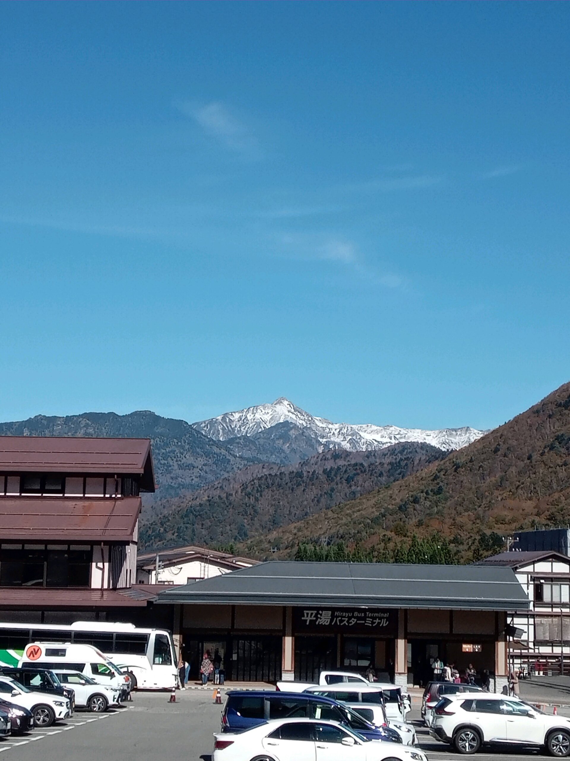
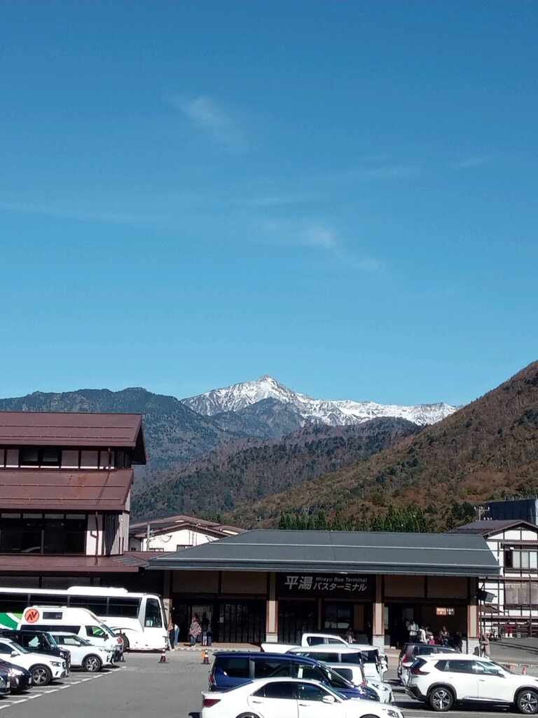
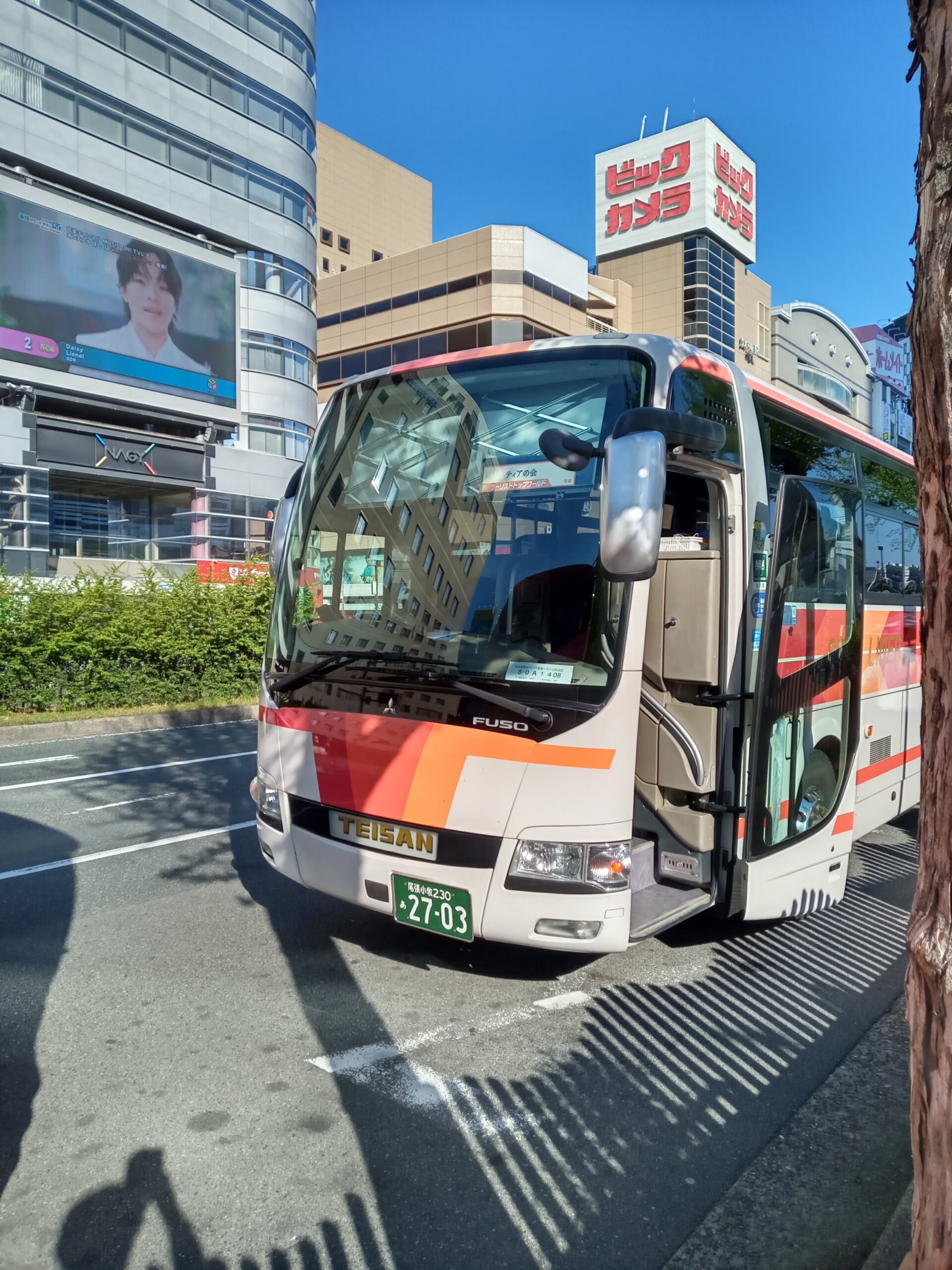
The journey begins at Hirayu Bus Terminal, the gateway on the Gifu side of the mountains. Beyond the terminal building, a line of snow-capped peaks is already waiting. From here, a bus carries you into the valley.
From the bus, my first stop was Taisho Pond.
2. Taisho Pond — The Hotaka Peaks Reflected in the Water
When I reached Taisho Pond, I caught my breath. The windless surface was a perfect mirror, reflecting the snowy Hotaka range upside down — a sight the Japanese call “sakasa-Hotaka.”
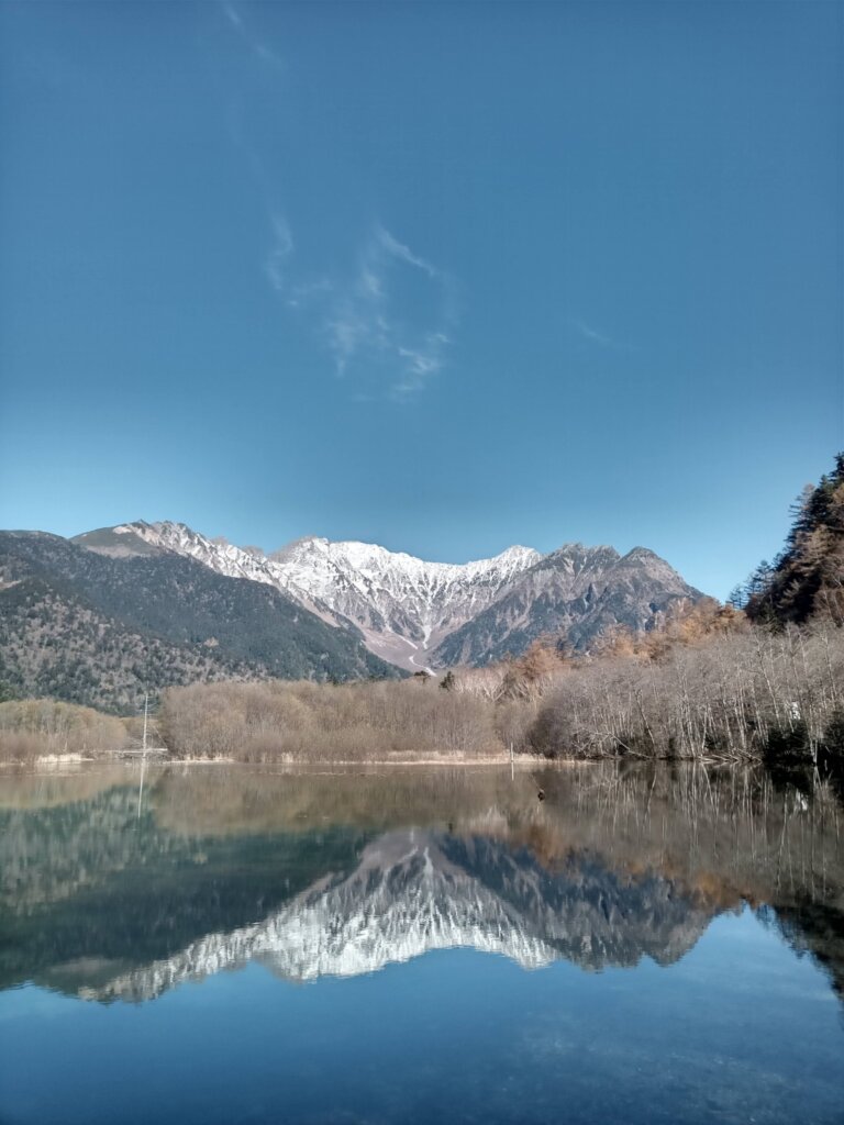
Taisho Pond was formed in 1915, when an eruption of Mt. Yakedake dammed the Azusa River. Dead trees still stand in the water, giving the pond its dreamlike atmosphere. Early morning is best: the surface is calmest, and the reflection is at its sharpest.
3. Walking the Forest Trail
From Taisho Pond, a trail leads through the forest. The path is flat and easy to walk, with sunlight filtering through the trees.
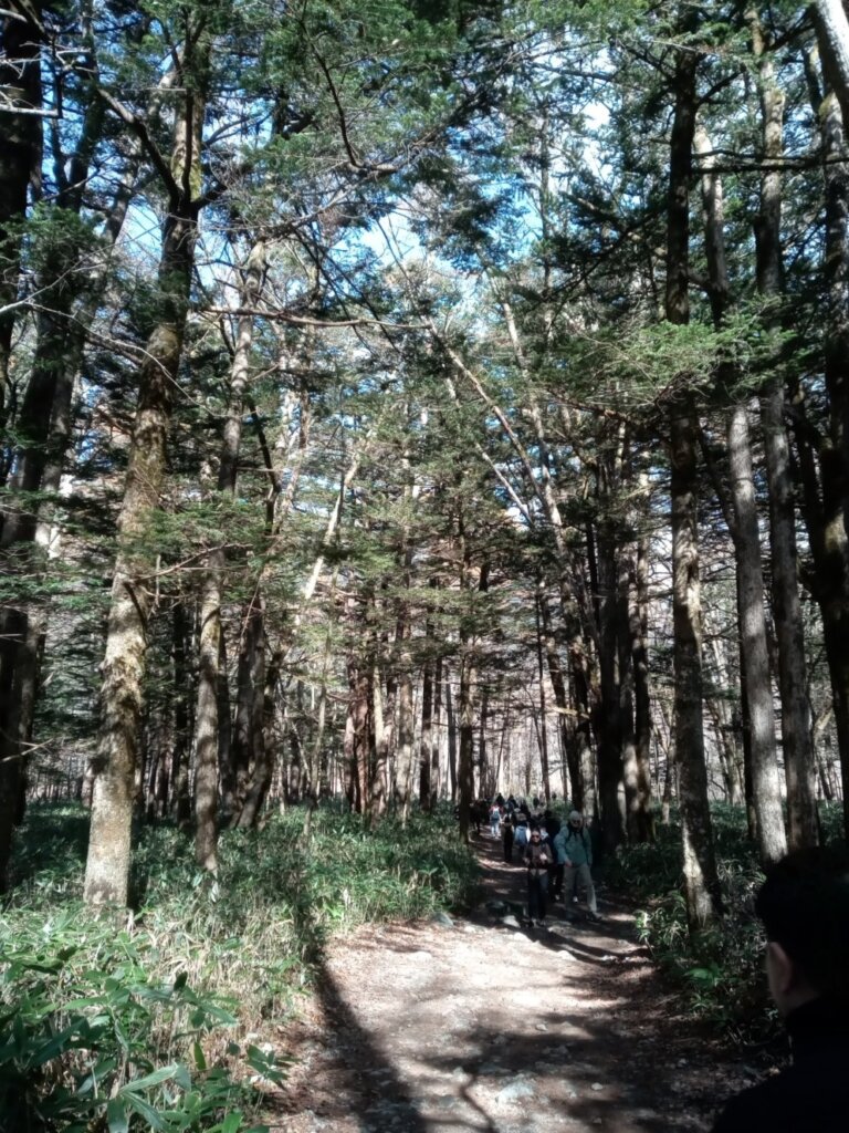
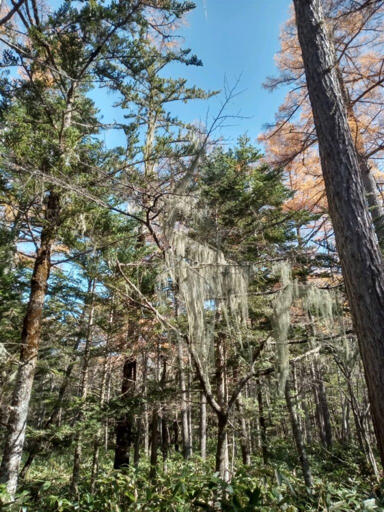
From the branches hung threads of pale moss — usnea, known in Japan as “saruo-gase.” It only grows where the air is exceptionally clean. Together with the golden larch trees, it deepened the stillness of the forest.
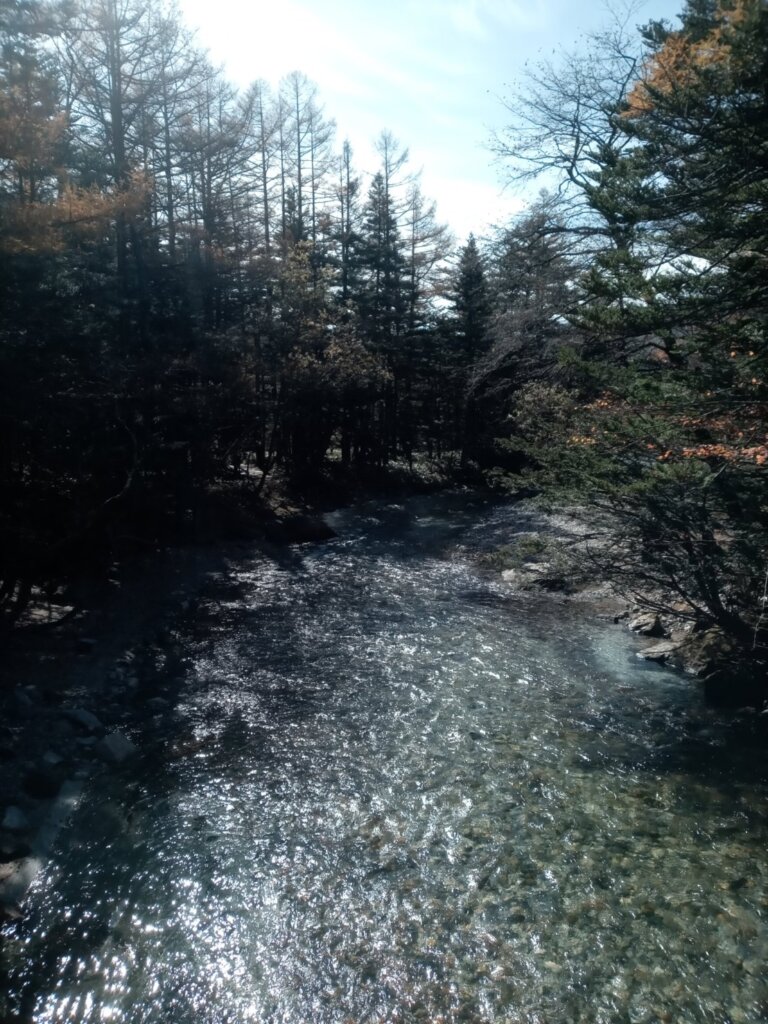
The streams here are so clear that you can see every stone on the bottom.
4. Along the Azusa River
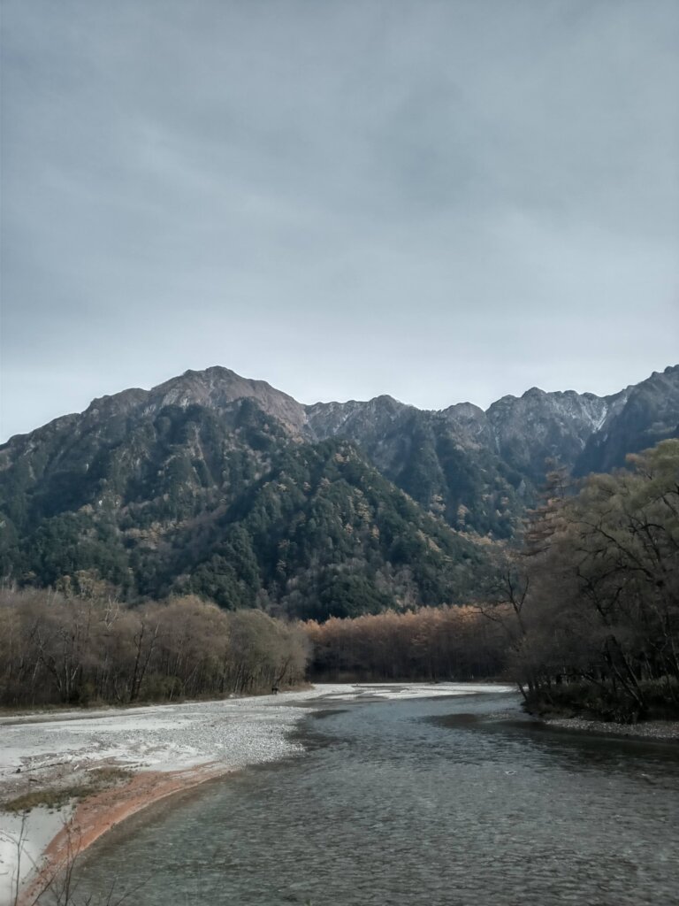
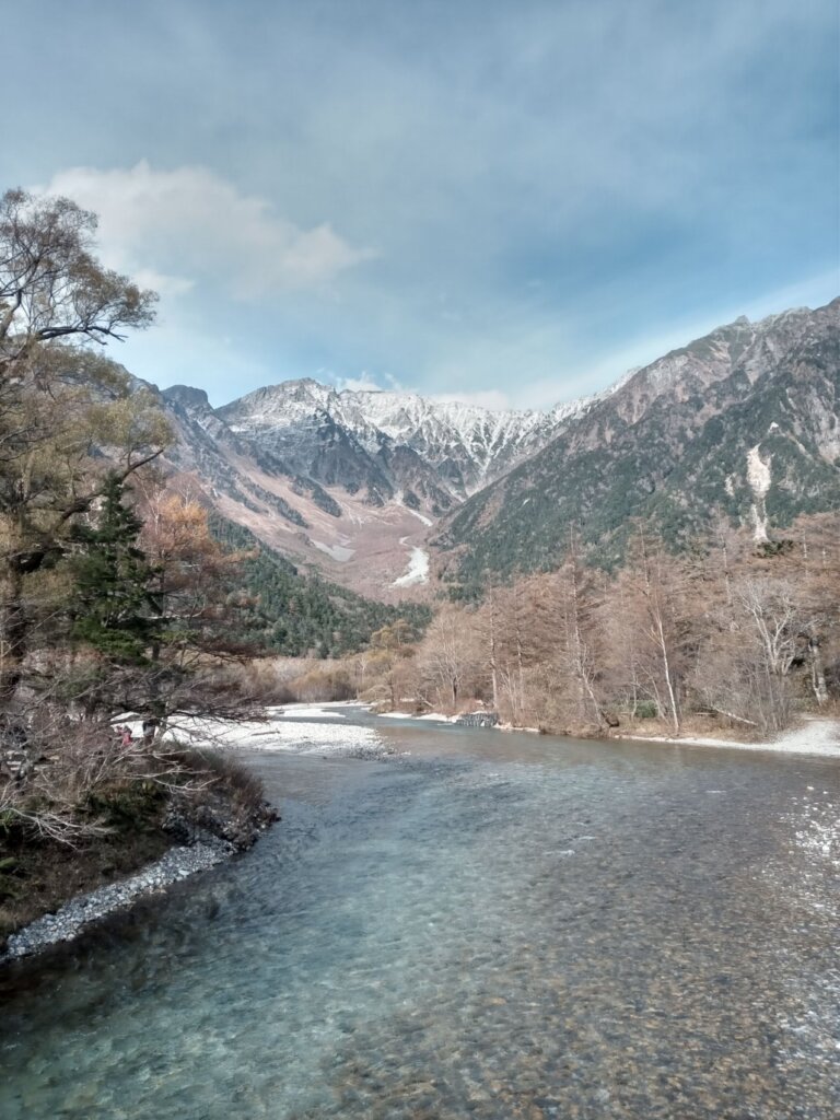
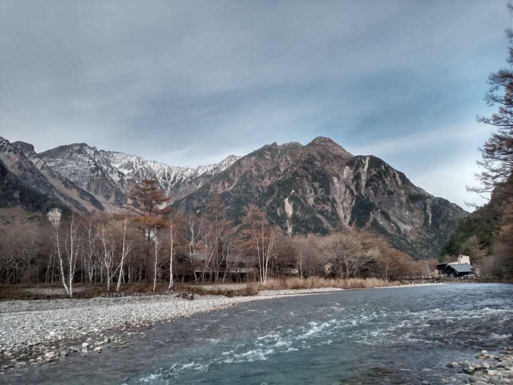
Leaving the forest, the view opens onto the Azusa River — a pure mountain stream, transparent right down to its shallow bed.
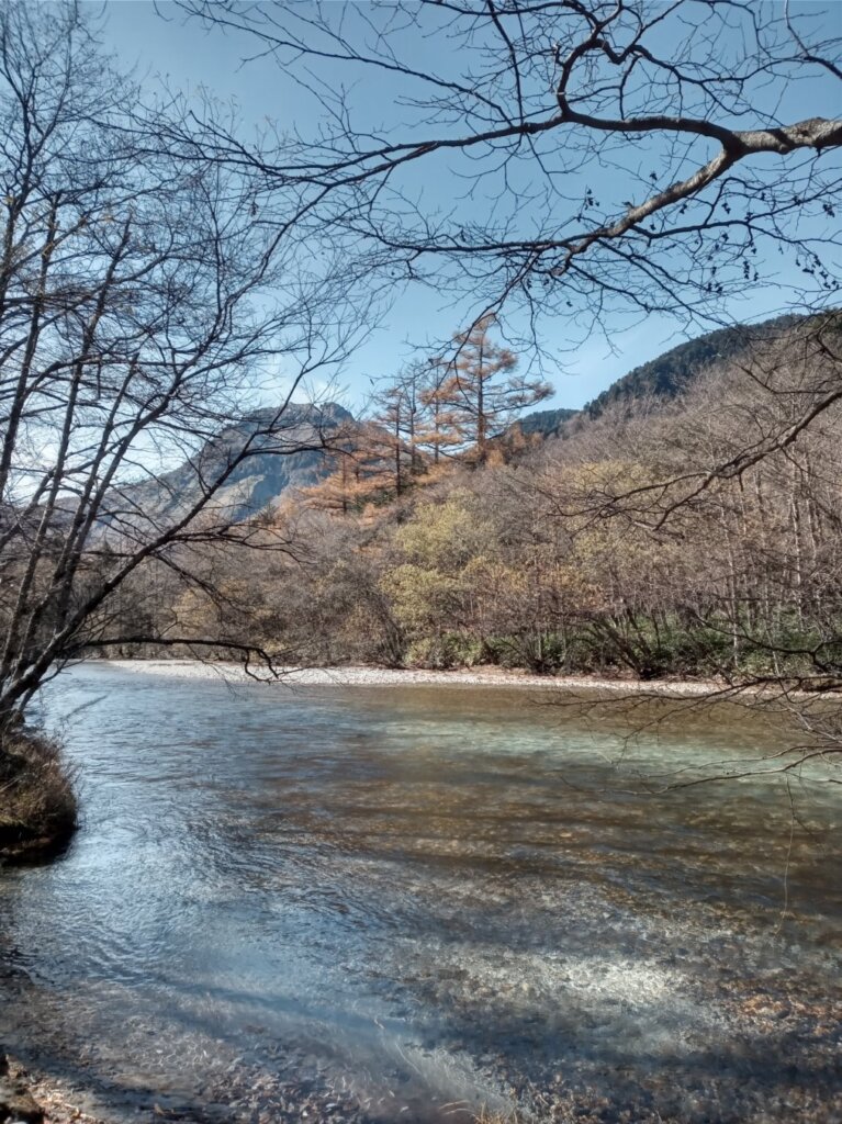
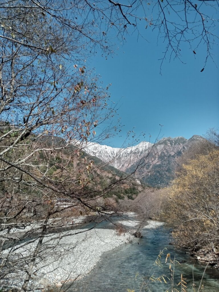
As you walk, the snow-covered Hotaka peaks appear beyond the trees.
5. The Hotaka Peaks and Dakesawa
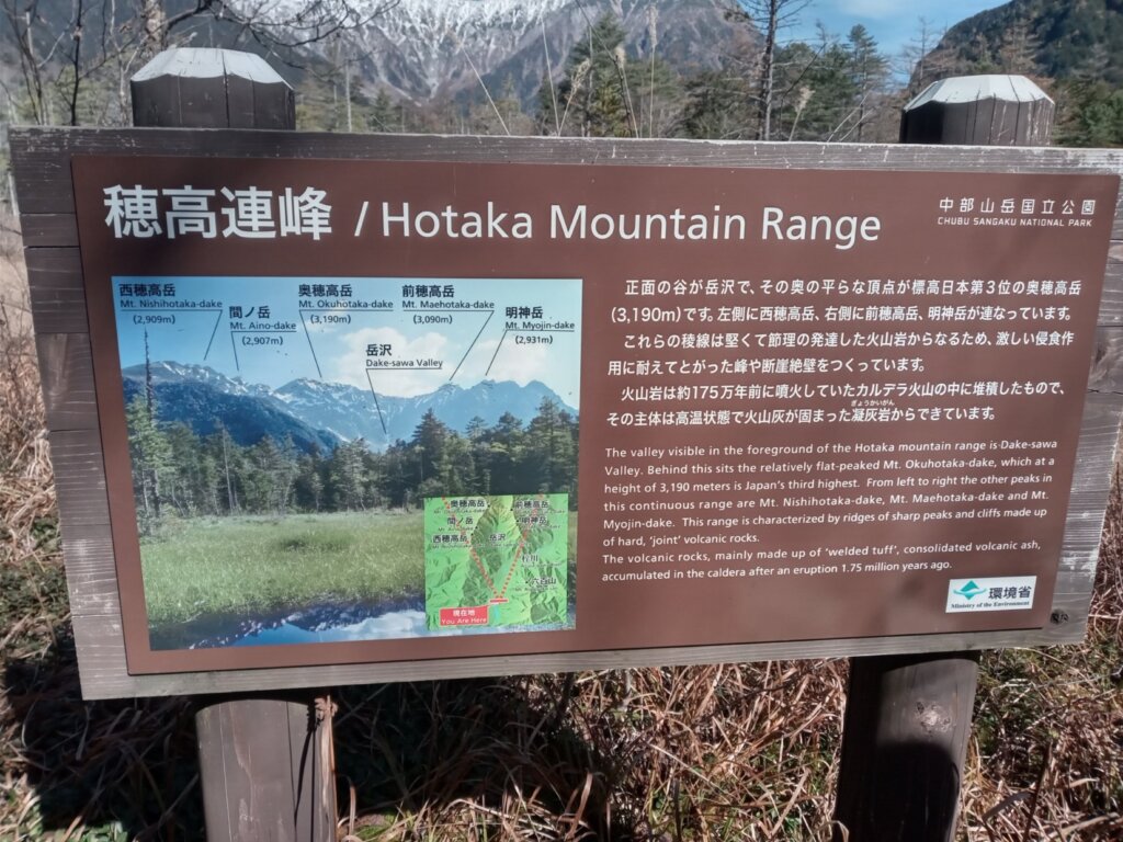
An information board names the mountains. The valley straight ahead is Dakesawa, and the flat summit behind it is Mt. Okuhotaka (3,190 m) — the third-highest mountain in Japan. Mt. Nishihotaka rises to the left, with Mt. Maehotaka and Mt. Myojin to the right.
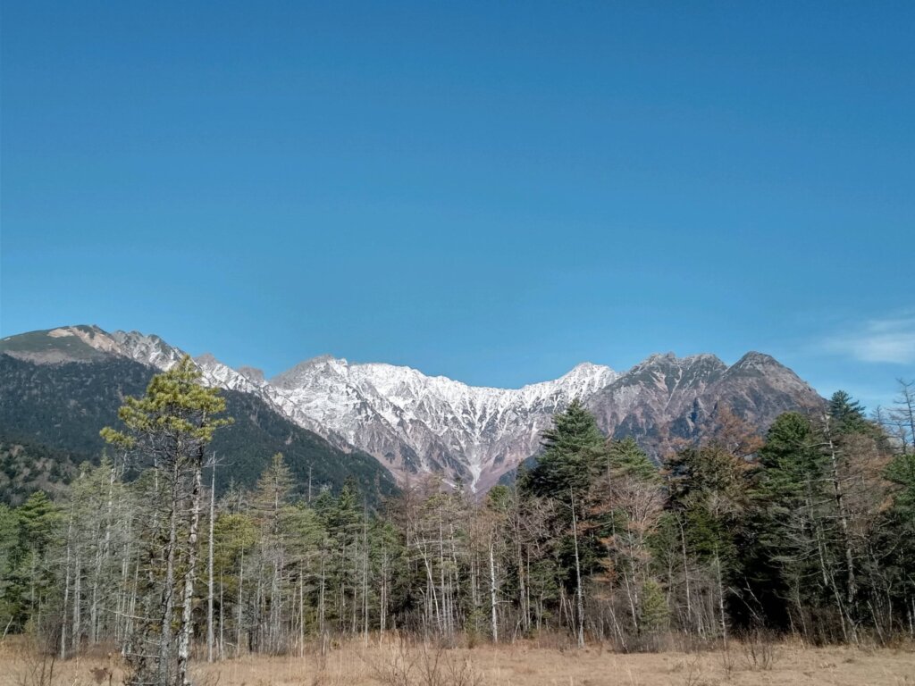
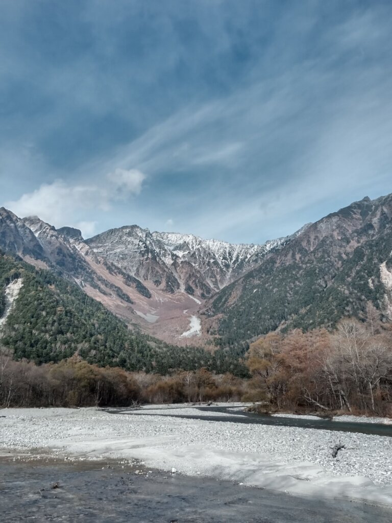
From the viewpoint looking up the Dakesawa valley, you can see snow lingering deep in the valley and the wide gravel bed of the river below.
6. Golden Larches in Autumn
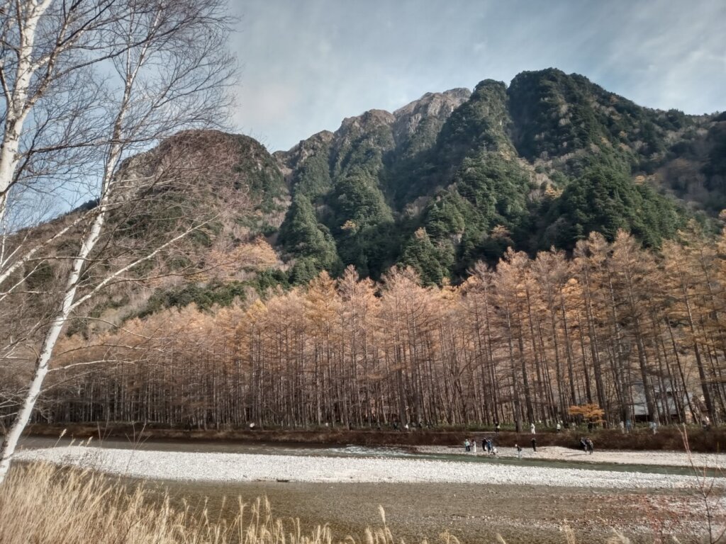
Across the river, a forest of larches had turned a brilliant gold — the signature colour of autumn in Kamikochi.
7. Kappa Bridge and a Rest Stop
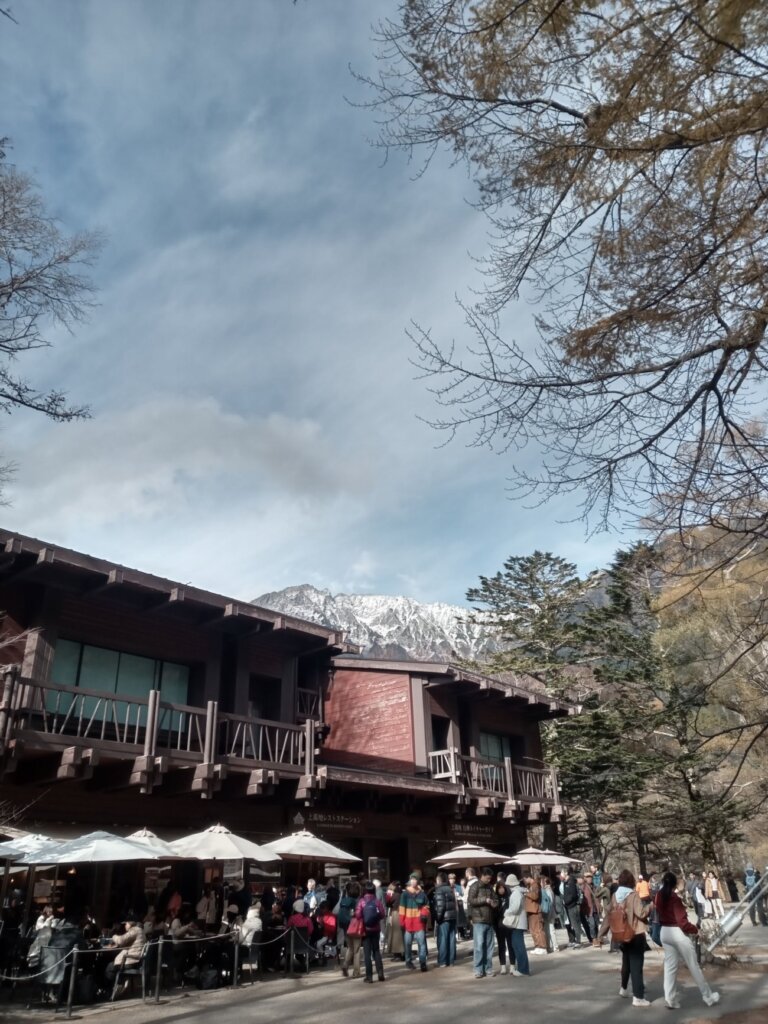
When your legs need a break, the Kamikochi Rest Station offers terrace seats facing the Hotaka peaks.
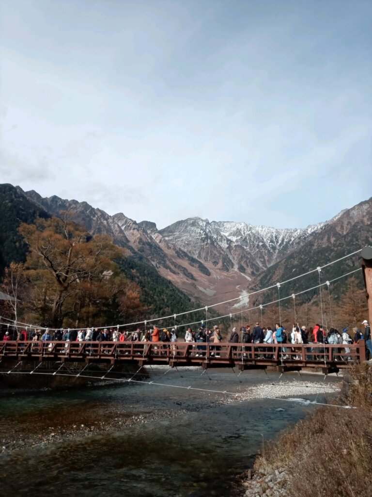
And then, the goal: Kappa Bridge, the symbol of Kamikochi. This 36.6-metre wooden suspension bridge frames the valley’s most famous view — the Hotaka peaks rising over the Azusa River.
8. At the End of the Walk
Hirayu, Taisho Pond, the forest path, the Azusa River, Kappa Bridge. The scenery changed with every step — a day that felt like Kamikochi itself.
Water this clear, and mountains this close. Few places give you both at once. I would like to come back in another season and walk it again.
Getting there
- Take the bus from Hirayu Bus Terminal to Kamikochi Bus Terminal
- Private cars are not allowed into Kamikochi. If you drive, park at Hirayu (Akandana parking) and change to the bus
- Get off the bus at Taisho Pond to walk the best section of the valley on your way to Kappa Bridge
- Kamikochi is open from mid-April to mid-November and closes for winter


コメント